Magic Walk 9
Mang Uk Village to Clear Water Bay via Tiu Yue Yung (High Junk
Peak). Distance is about 6km; add 1km if you include Tai Miu
(Tin Hau Temple). Degree of difficulty is 3 if the Peak is
included; 2 with fair weather and if the simple paths are used
circumventing the two main hills. Time needed including
transportation to and from town is 5 hours.
This walk replaces the old walk number 9 (published in the
prints of Magic Walk volume 1 from 1990-95) that lead us
through Rennie's Mill (Tiu Keng Leng), the former Nationalist
stronghold village that was taken back by the Hong Kong
Government in 1997. It is to be redeveloped and the remants
can still be clearly seen during this walk.
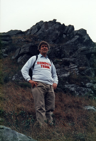
The fact that I lived in the Sai Kung/ Clear Water Bay area
for over nine years is clear proof that I love it there. A lot
has changed over the last 20 years, but when you join us on
today's hike, you will instantly understand why so many people
think it is the most beautiful district in Hong Kong. We shall
cover the High Junk Peak Hiking Trail, that runs the length of
the ridge between Hang Hau and Clear Water Bay Country Club.
There are three ways to get on the ridge. The easiest one is
the access designated by the Country Park Authority. Take the
MTR to Choi Hung (exactly 30 mins from Central or Tsim Sha
Tsui), choose the exit that will bring you to the south side
of Clear Water Bay Road and wait for bus 91 to Clear Water Bay
(every 15-20 mins). If you look at the map of Countryside
Series Sheet No. 4, you will notice the village of Mang Uk.
On the way you will pass the new University of Science and
Technology (spectacularly built just outside Tai Po Tsai) and
TV City/ Shaw Brother Studio founded by Hong Kong's most
famous film moguls and a legend in their own time.
Once you pass Silverstrand and then Mang Uk, the bus will
climb a rather steep hill; once it turns the corner, press the
button for getting off. The busstop is just at the end of the
parking lot from where a road to the left leads to Bayview
Villas (Lot 499). Cross the road; you will see the distinctive
map that the Country Park people put along their favourite
trails. The stairs on the right will lead you straight to the
access. As soon as you have ascended about 100m, there will be
a small trail on the left with a wooden guidepost at waist
height directing you to Tai Miu. This is the path you are
looking for. It is well-trodden and even on rainy days, you
will have no trouble; you just cannot get lost.
The second access is just after the villas above Silverstrand
Beach. As soon as you pass Pik Sha Road on the left, let the
driver know you want to alight at the next stop. Cross the
road and take the path that leads towards Mang Uk. (There is a
stop in Mang Uk itself, but you would probably get lost. There
is no access in that village, although the old maps say there
is.) Just follow this path and then the directions that I am
giving you below after you cross the brook on the right.
The third access is (I think) the most fun. It is especially
good for people who are impatient. Bus 91 is not always
punctual. Bus 91M to Hang Hau or minibus 11 to the same
designation are more frequent. Once your transport descends
into Hang Hau, get off when it approaches sea level, i.e. the
main roundabout that leads to the new town of Tseung Kwan O.
There is a sign just in front of you on the left that says
'Book Kin Village'. Take that path and walk past the houses
until you can go no further. There is a concrete viaduct
across the brook in front of you. Take the path on the left
(electricity box PL 95376). It becomes a concrete path where
villagers have applied white paint to the steps, so they can
see where they are going at night. At the fork in the road,
take the right turn. The path goes up, then down a bit and up
again past bamboo bushes until you approach Mang Uk.
Once you reach the public convenience on the left near the
main road, turn right and finally cross the brook. The sound
of its running water has accompanied you on the way up.
After about 200m, having passed several 'Spanish' villas on
the right, you will come to a crossroad with a Refuse Point on
the left. Turn 90ø to the left until you reach the basketball
court on the left and toilet on the right. Turn right uphill
until the road swings 90ø. At that very point walk straight
ahead along the small path that turns into a sequence of
stepping stones after 10m. There is a small forest after about
150m. Once you get out into the open, immediately turn left
and climb uphill. Be consistent and take the path that has the
steepest assent. You will join the High Junk Peak Hiking Trail
within 15 mins.
Once you are up, turn right, walk ahead about 100m and compare
the view in front of you with what you left behind. Especially
on weekdays when the sun shines, there are few paths in Hong
Kong that have as varied a view as this magnificent trail.
Behind you is Junk Bay with across the water 'condemned'
Rennies' Mill; south of you is Chaiwan on Hong Kong Island,
and north and east the vast expanse of Sai Kung Country Park,
its mountains and Rocky Bay.
On this trail you can choose between the high road and the low
road. I have done the low road with an infant on my back, so I
can assure you that it is perfectly safe as long as there is
no stiff wind to make you lose balance. The view from High
Junk Peak (Tiu Yue Yung) is the most spectacular, but the
descend rather steep. Further on near Clear Water Bay,
amateurs often fly kites or model planes. And if you have
enough energy, try to visit the Tin Hau Temple near Tai Miu.
Transport back is no problem and as long as there is daylight,
there are stalls open on Clear Water Bay Beach. The ride back
to Ping Shek/ Choi Hung takes normally about 40 mins.
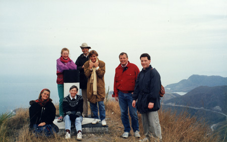
Our regular hiking group near Clear Water Bay