Magic Walk 12
Walk from Luk Keng to Tai Mei Tuk is about 8km (around two and
a half hours). Degree of difficulty: 2. Best map to take along
is Countryside Series Sheet no. 5.
Sha Tau Kok and Robin's Nest
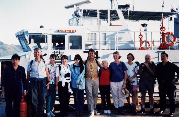
Making friends with the (Royal) H.K. Marine Police
If you have made several of the walks described in the
previous pages, you will be surprised by now that a city the
size of Hong Kong has so many interesting places worth
visiting besides what it is renowned for. We are lucky to be
in a place with such a wealth of natural resources.
As already stated in the header of this web-site, over 40% of
Hong Kong is designated as country parks. The former governor
Sir Murray MacLehose (by many seen as Hong Kong's greatest
colonial civil servant) gave the initiative to the Country
Parks Ordinance early in his administration. He was also the
person who drew up legislation for the village house policy,
that has been essential for retaining many locals in Hong Kong
who would otherwise have deserted the villages and also would
have moved overseas. Lord MacLehose of Beoch sits now in the
House of Lords. He was a keen hiker and still takes an abiding
interest in Hong Kong affairs. The MacLehose Trail was named
after him, and the annual Trailwalker for charity following
this 100 km trail is the biggest hiking event of the year.
Hikers are a sort of fraternity and tend to be friendly
wherever you meet them on the globe. Many of my fellow hikers
in Hong Kong have been trotting the trails for years and come
back refreshed and ready to meet the challenges this town
poses on a daily basis. The Country Town Authority has done a
magnificent job, and the fresh air is there for all of us to
enjoy by just going out to nature, following the trails and
discovering the beauty of the countryside.
Today we are visiting a place many people will only have seen
on the map, although it can be reached quite easily. The
entire trip from Central or Tsim Sha Tsui and back should take
no longer than five or six hours. Our destination is the park
that lies between Plover Cove (the second largest artificial
fresh water reservoir in Hong Kong) and the Chinese border at
Sha Tau Kok. We will take the Kowloon Canton Railway (KCR) all
the way to Fanling (board at Hunghom or Kowloon Tong). Upon
arrival at Fanling, go to the bus stop on the north side.
We want to go to Luk Keng and the best way to do that is by
public light bus (PLB) no. 56K. You can also take Kowloon
Motor Bus (KMB) no. 78K to Sha Tau Kok, but you have to get
off one stop before you get to the closed area (ask the driver
or fellow travellers please) and walk an extra mile to Luk
Keng. The PLB has its final stop at the main village (Luk Keng
Wong Uk). Take the road straight through the village. You will
meet many women wearing the distinctive Hakka headdress.
Several small places of worship that look Taoist, but without
statues, grace the village. They are very simple and worth a
visit. See also the primer on Chinese folk religions that will
be part of this web-site later in May.
At the end of the village the road forks. Take the unevenly
paved fork to the right past the public convenience. You will
come to a number of crossings; take the path that slowly winds
up the hill. Your landmark is the pagoda-like shelter near Ha
Tsat Muk Kiu (name of the open space).
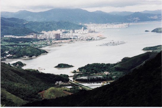
On the way up you will have a fine view of another farmers'
village on the right by the name of Nam Chung. Thousands of
ducks are still raised here on this stretch of water that
connects with the South China Sea through Starling Inlet.
Fish-farming was the main source of income of the villagers
over the past 10 years after they turned their back on
traditional and pig-farming. To the north you will have a
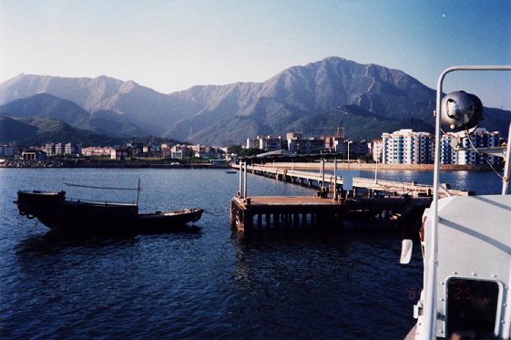
clear view of the closed area at Sha Tau Kok, one of the three
points of entry to Shenzen Special Economic Zone.
Unprecedented construction activity has taken place over the
last 20 years, and transformed the countryside forever on the
other side of the border. Shenzen is not the sleepy town it
used to be in the aftermath of the days of the Cultural
Revolution (1967-76).
The path we are taking is leisurely and ideal for a family
outing. Even small children should be able to go on this
trip. Once you reach the top of the hill, the climb evens out
and there is a large plateau that stretches quite a distance.
Follow the path indicators to Pat Sin Leng from which this
Country Park takes its name. The two hills ahead that form the
twin peaks of this ridge are respectively 588 and 511m high.
If you feel like it, you might want to climb both of them.
There is a path that leads up Shun Yeung Fung and connects
with Hsien Ku Fung, from where you can make your descent to
Bride's Pool Road and Ting Kok Road on the Plover Cove side.
Experience tells me that it is not always so easy to get a
taxi from here back to public transport. You may have to walk
all the way along the main road to Tai Mei Tuk.
If you did not arrange to be picked up by taxi or by a friend
from Bride's Pool, it may therefore be best and much more
attractive to follow the main, well-kept path past Wang Shan
Keuk Ha Tsuen (a village that his long since disappeared) and
that ends up near Ngau Au. From that point it is just another
1km to Tai Mei Tuk, its simple restaurants and KMB no. 75K
that will take you back to Tai Po Railway Station. If you want
to spend some more time and do it bit of cycling, then there
are a number of places that rent them by the hour in Tai Mei
Tuk. A deposit and identification is all you need.
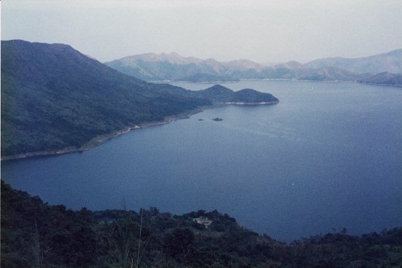
Plover Cove Reservoir